


Assess employees’ skills for personalized learning
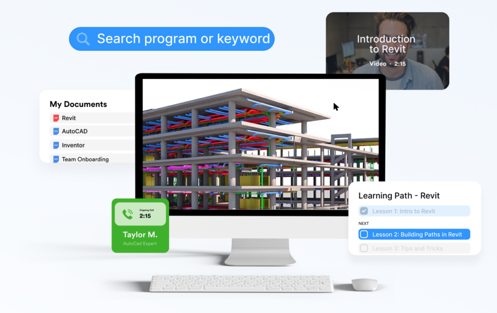
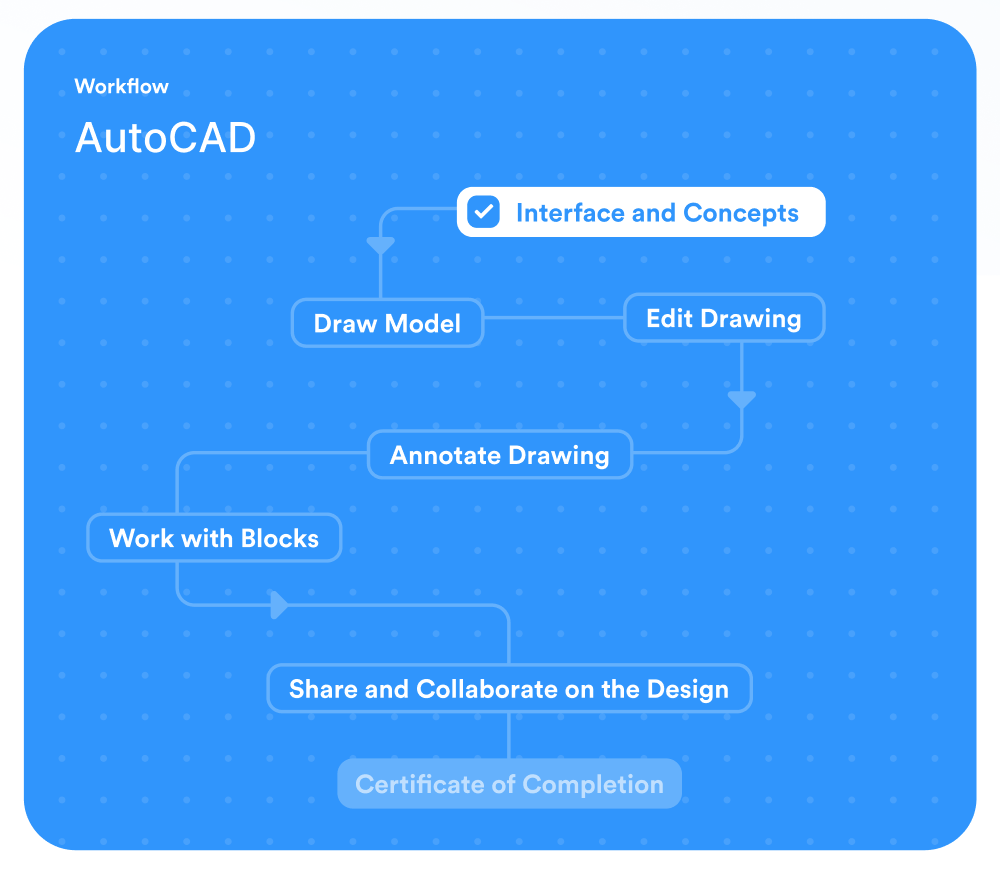
Learning Paths
Workflows
Assignments
30,000+ Videos & Articles
Document storage
Live Support
Custom Content
Offline Access
Live Events
Work groups
Social sharing
External users
Internal experts
Notifications
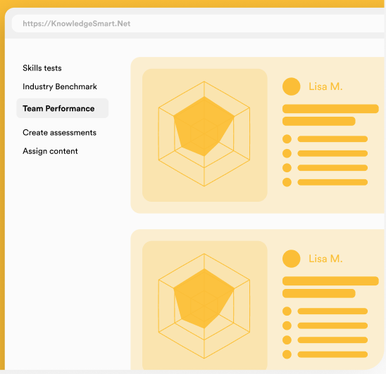
Reporting & Analytics
Dedicated Customer Success Rep
White labeling
API Access
SSO & Active Directory Sync
SCORM Uploading
Learning Paths
Workflows
Assignments
30,000+ Videos & Articles
Document storage
Live Support
Custom Content
Offline Access
Live Events
Work groups
Social sharing
External users
Internal experts
Notifications
Reporting & Analytics
Dedicated Customer Success Rep
White labeling
API Access
SSO & Active Directory Sync
SCORM Uploading
Increase productivity
Upskill employees

Supercharge collaboration